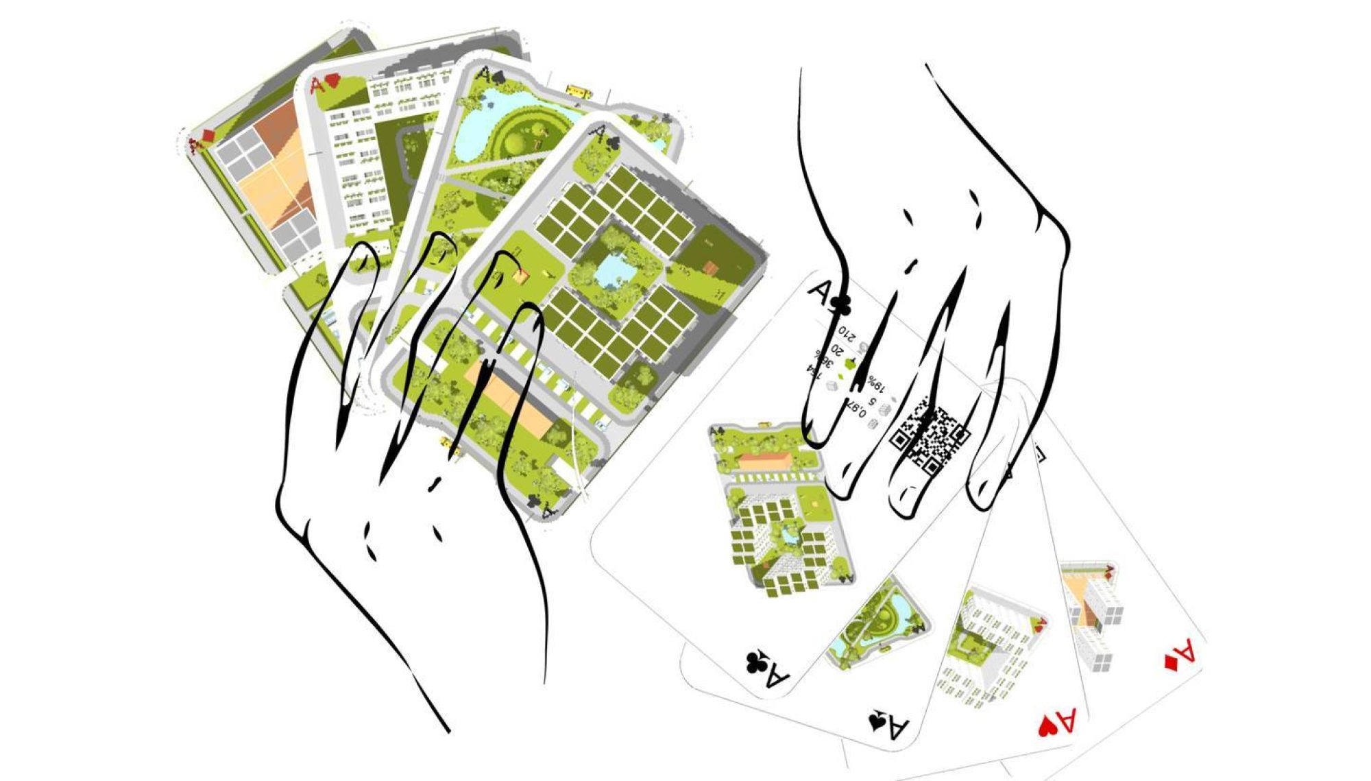
Each card depicts a land use model of about 1ha. The outer edges were assumed to be communication areas, divided along their central axis in half.
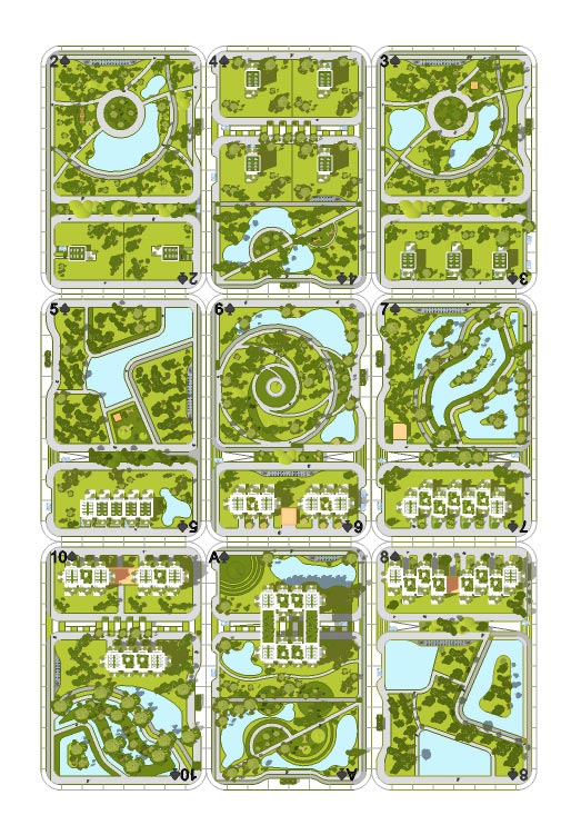
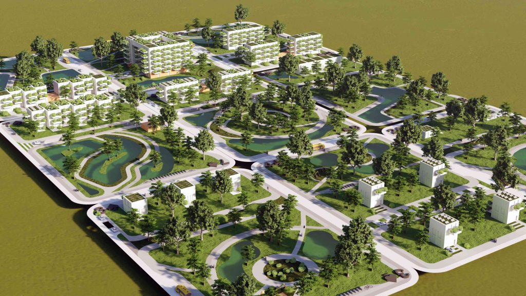
This allows the various models to be juxtaposed to form quarters and the streets between them. It has also been assumed that part of each quarter will be devoted to various forms of residential and residential-service development. The remaining area will be developed individually by the designer playing his role, who can vary the way it is developed. The purpose of the above assumption is to be able to compile the models into small neighborhoods according to different rules, to use for games, to visualize the possibilities and risks of different approaches.
The colors of the cards, which symbolize different land managers, reflect their different goals, and thus illustrate the conflicting mutual interests of, for example, an environmentalist and a developer, or a resident and a planner. Creating the settlements involved taking inspiration from the real world. The analysis of existing real-world examples made it possible to assign characteristic features to model settlements.
LINK TO 3D MODEL: https://skfb.ly/oHS9U